About US
Over 10 Years of Experience as aGeoInformatics and Automation Solution Provider
From passionate personnel in Urban Planning, ICT & GIS with proven past products/services based on self-research & Development. Acquire & Integrate multiple sources of geospatial data, network, contour, towers, etc., into a Decision Support System.


2019 – Became the first UAV company in Indonesia officially regulated and authorized to operate drones in Jakarta’s urban area for the Jakarta Provincial Government. Conducted the highest-resolution metropolitan mapping: 4 cm GSD for the Jakarta Investment Center.
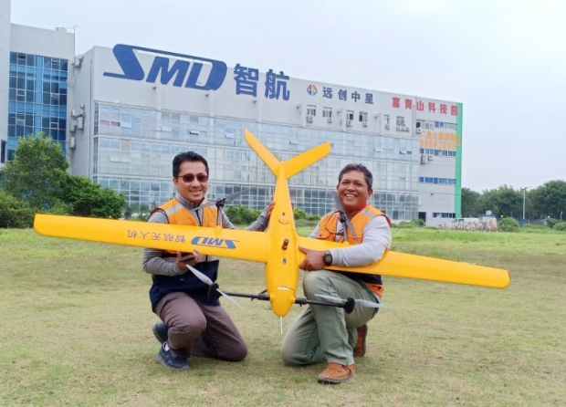
stablished strategic partnerships with the Indonesian Geospatial Council, Indonesian Aviation School, Bureau Veritas Indonesia, the Indonesian Air Force (TNI AU), national aerial communities, exhibitions and events, as well as leading global drone and automation companies such as Shenzhen SmartDrone, EMLID, MicaSense, and AirMap.
Developed innovations in 3D Augmented Reality and 360-degree visualization for the Geo3DAR JIC Platform. Built web applications for urban development (AdviCity) and professional drone pilot training (Skynesia). Key vendor partner for Precision AgroForestry Mapping & Processing, as well as R&D for Technological Independence. Studio Jakarta Satu – Grand Designer and Implementer of Indonesia’s first Digital Twin, ready to support the Metaverse.


Our Ability
VISI
Improving Automation and Autonomousity to Minimize Human Error
Strive for Quality and Trusted Long Term Relationship in Tech Services, for Greater Good
Respond wise & positively, instead of Blame Excuse Denial because disruptive change will happen by nature
Our Ability
MISI
- To have Passionate Research & Development team that keep GAVIN rider of the wave
- Be the first to set the standards in GeoInformatics, Autonomous AI Devices, Smart AI wearable Tech
- Always improve data validity (Autonomous) into decision validity (GeoInformatics) in an immersive way


Core Team
meet with our team of experts
From Data to Intelligent Decision & Action
From satellite imagery to advanced spatial analysis, we provide comprehensive solutions to map, model, and understand your world.
We help you map and analyze location data using the latest technology
